In a world where sustainability and data-driven decisions are increasingly important, NEO, together with its partners, is taking the lead in transforming agricultural monitoring. Within the Area monitoring system (AMS), we are jointly working on technological advances in an innovative project.
What is the Area Monitoring System (AMS)?
The Area Monitoring System (AMS) is a system mandatory under the Common Agricultural Policy (CAP) since 1 January 2023 for monitoring area-based subsidy schemes in EU member states.
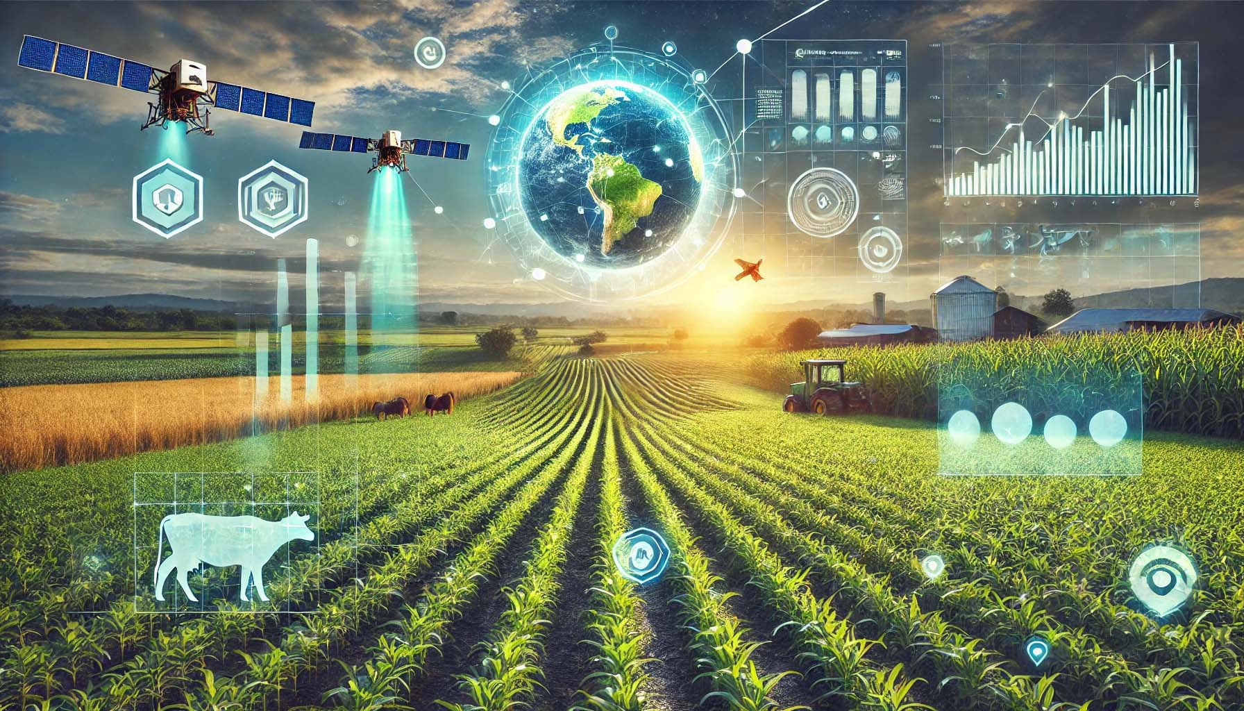
The AMS uses Copernicus Sentinel satellite data to observe and assess agricultural activities and practices in agricultural areas.
This satellite data is automatically collected every five days and interpreted using computer algorithms called Markers.
The AMS checks whether agricultural activities such as mowing, ploughing or crop growth are taking place as declared by the farmer on the declared plots.
This is done using radar and optical images from the Sentinel 1 and Sentinel 2 satellites.
The results are shown in colour codes: green for compliant plots, yellow for plots requiring further processing, and red for plots with potential non-compliance.
The system offers benefits such as reducing on-site inspections and providing farmers with timely alerts on potential errors, allowing them to correct them.
This leads to fewer fines and more efficient processing of payments.
We would like to give an insight into how we are shaping the future of agricultural monitoring.
NEO is working in a unique consortium with Wageningen Environmental Research, Planet and GAF to implement, refine and develop new applications of the AMS system in the Netherlands. The innovations for the future are formulated as part of the AMS project in the Innovation Agenda
This innovation agenda focuses on two core missions:
- Improving existing monitoring services through more accurate and faster data collection.
- Developing advanced techniques to anticipate challenges such as climate change and changing agricultural practices.
Our approach: Think big, start small.
We start with achievable goals, such as creating a Pan-European Ground Truth database and optimising existing detection algorithms.
Innovation agenda focal points
- Ground Truth database:
- A dynamic dataset crucial for validating satellite imagery.
- Initial focus on momentary agricultural activities such as mowing and harvesting.
- Visualise results on accessible platforms.
- Object detection:
- Develop models for detecting livestock and manure storage silos with high accuracy.
- Using machine learning to improve .
- Use of historical data:
- Integration of weather and soil data in the development of monitoring algorithms, making monitoring results richer and more reliable.
- Facilitating access to external datasets
- Precision in plot delineation
- Use of Planet data and advanced algorithms to establish accurate plot boundaries, guided by Sinergise/Planet.
- Detection of glyphosate use:
- Development of a marker to detect glyphosate use, conducted by Wageningen Environmental Research (WEnR).
- Improvement of existing markers:
- Optimisation of existing markers, such as mowing, using deep learning techniques for higher accuracy and reliability.
- Exploring new farming challenges:
- Horizon exploration of challenges within the context of the Common Agricultural Policy, such as establishment of invasive species and changing land use.
This innovation project aims to develop advanced solutions to expand and refine remote sensing-based agricultural monitoring, making it more accessible, versatile and effective.
Join our mission
With this project, we are not just creating technology, but building a future where agriculture, technology and environment work together in harmony.
As a core partner in the AMS consortium, NEO plays a crucial role as a driver of innovation in agricultural monitoring. With a unique combination of expertise in remote sensing, data processing and AI, NEO translates complex satellite data into actionable insights for policymakers, farmers and other stakeholders.
This approach makes NEO an essential link in delivering solutions that are applicable both locally and internationally. Through our role as innovator and connector, we contribute to a more sustainable and efficient agricultural sector.
Want to know more about our services or how we can support your organisation? Leave your details below and we will contact you.