Our world is constantly changing. Therefore, information is rapidly becoming obsolete. Satellites, aircraft, but also drones and yourself are making more and more observations. SignalEyes is our way of using those observations and informing you of developments you want to know about.
NEO provides unique information services that deal with the changes in our living environment. We have been doing this for almost 25 years but we are still constantly innovating our services.
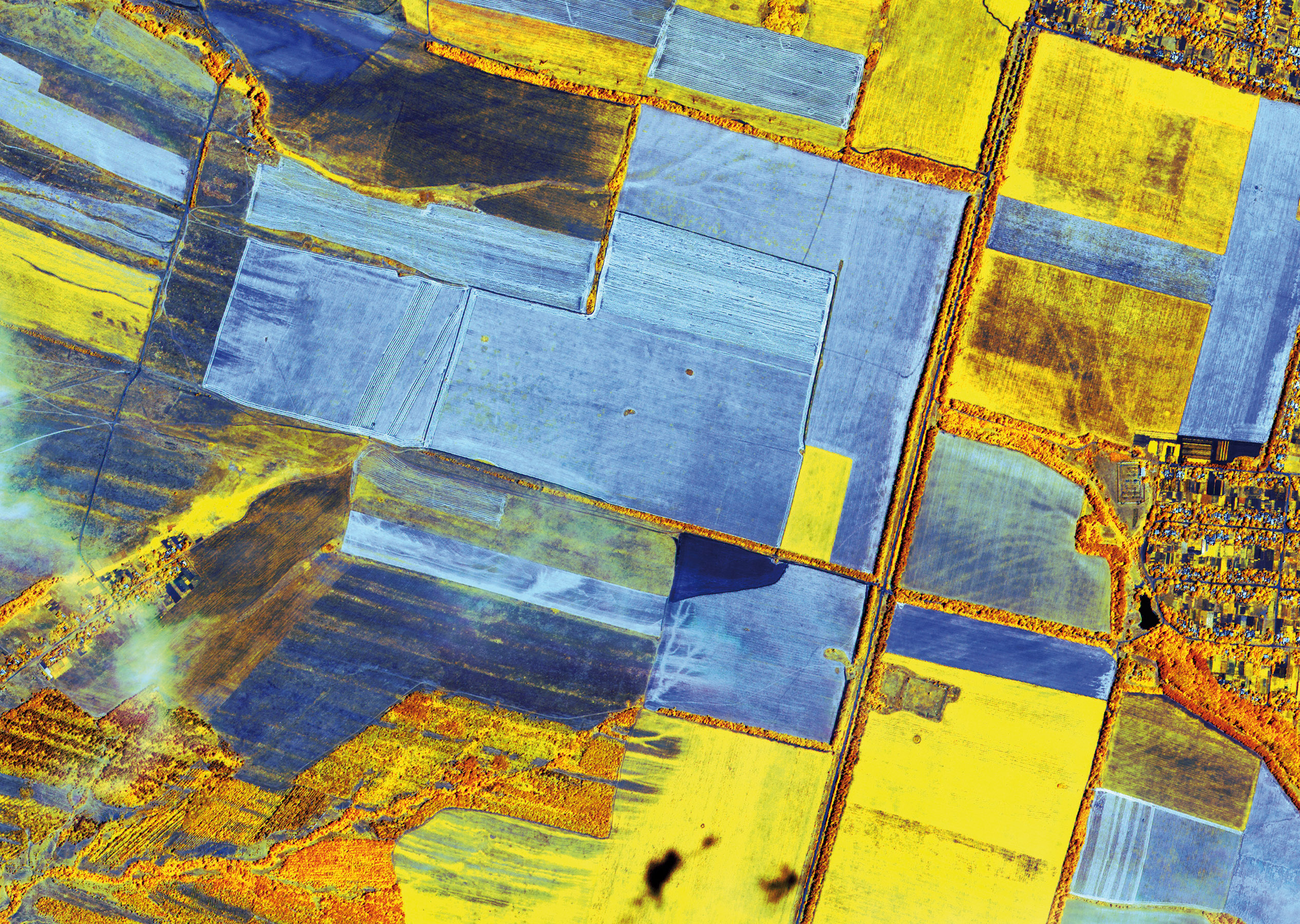
In 2020, we started monitoring of all buildings, roads, waterways, trees, fields, natural areas, solar panels, etc. throughout the Netherlands. We do this based on all the Open Data we can find. Among other things, we use satellite images, aerial photos and lidar data and data from the 'crowd'. Our patented technology provides automated change signals with a level of completeness, accuracy and timeliness that is unique in the world. With the observed changes, we build information services that we unlock via our API. Examples of these new services are in there in crop management, map registrations such as those in BAG, BGT and WOZ, in tree maintenance, pipeline management, building inspections and control, invasive exotics, etc. We work with you to provide the information you need quickly and adequately.
Our core values are integrity and openness. We monitor the planet because we care about it. Our people are smart, communicative and direct. It is important for them to learn and keep learning. We work hard to operate at the very highest technological level and we do so with the universities and knowledge institutions in our ecosystem. We innovate by listening to our customers and commit to bringing at least one innovative service to market every year.
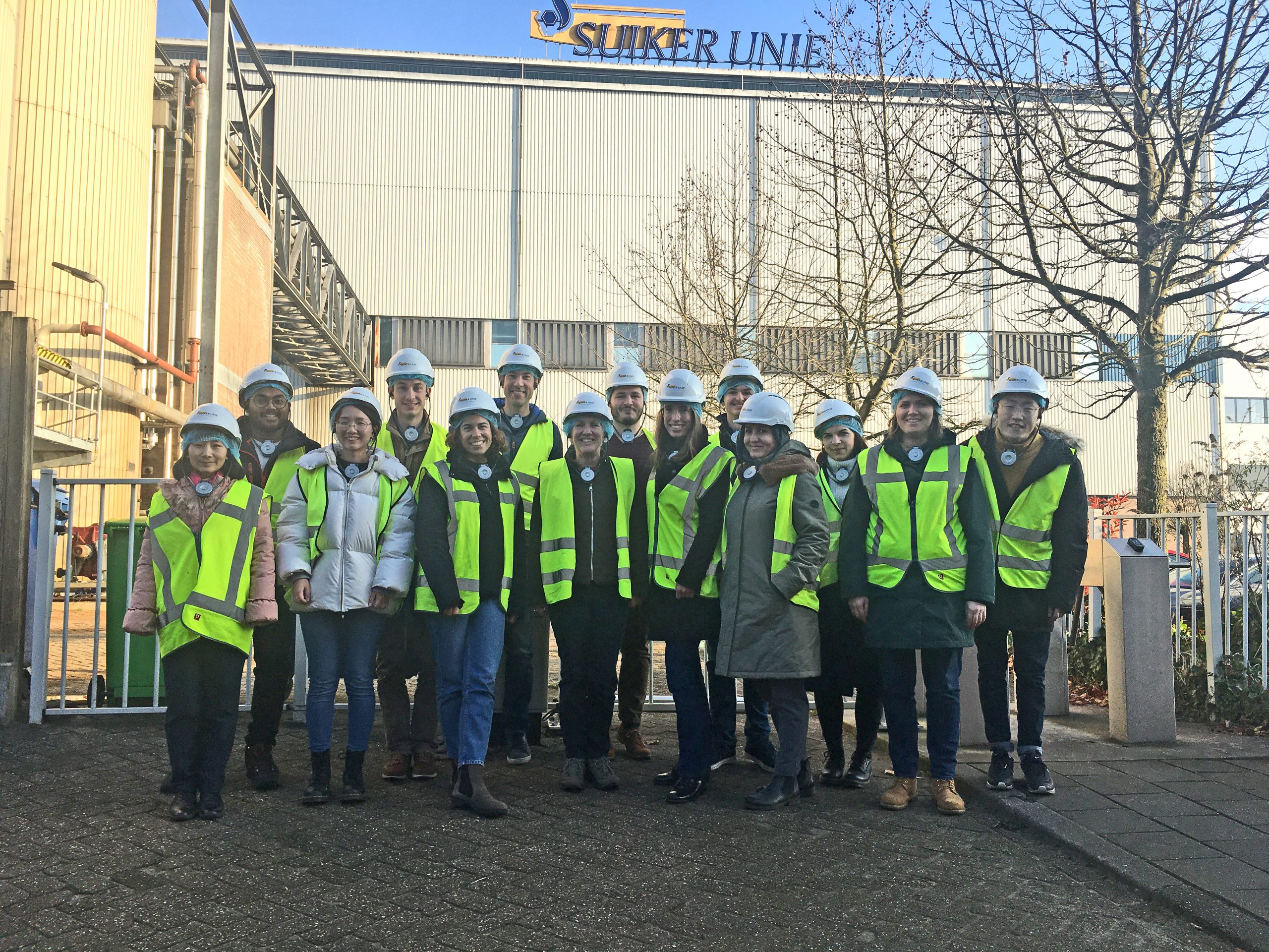
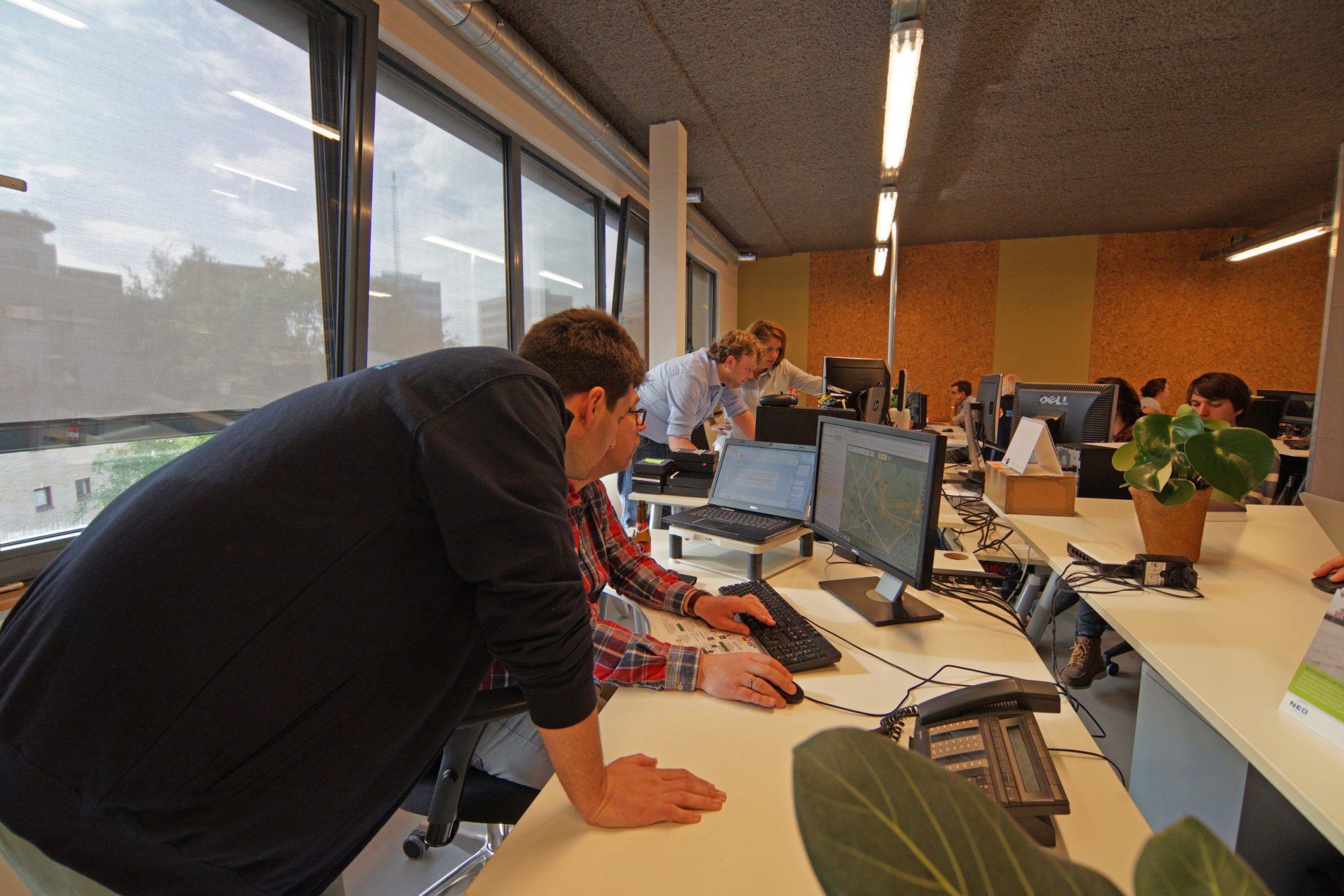
We are an international group of over 30 geoinformatics specialists, developers and business developers and we are growing. We feel at home at our office in Amersfoort. English is the working language at our office, but we are a Dutch company at heart.
NEO is growing. We are always interested in people wanting to work with us. Please call or send an open application to info@neo.nl. Or visit our vacancies page.
Our strengths lie in image processing, object recognition and mutation detection with artificial intelligence. We often serve our clients by partnering with the best companies in their field. Together, we implement projects and develop services. Partners are welcome to develop services on our API.
Currently, NEO is a partner in:
- The Cooperative Tree Register U.A.
- NEVASCO (Export cooperative of Dutch remote sensing value adding companies
We are major consumers of the products of PCI-Geomatics from Canada and we are their local representative. We use images from all suppliers and we are resellers of European Space Imaging, from Planet Labs and from Capella Space.

NEO in 2017 acquired the ISO27001 certificate for Information Security and is continuously improving its standards. Our quality management has also been certified since 2011 (Lloyds ISO9001). We use the certificates to keep focus on quality and security issues in all work processes. The PDCA cycle (plan-do-check-act) is fully internalised and working.
In 2020, NEO acquired the certificate of the CO2 performance ladder and reports on its carbon accounting.
We take the objectives of Corporate Social Responsibility (CSR) seriously and have specific activities in this area.
More information can be found on the CSR page.
SignalEyes helps her users to be more effective with faster and better information. This leads to better decisions, lower costs, fewer errors and waste, etc.
SignalEyes is our solution for monitoring especially earth observation data and other data sources. Monitoring is signalling changes and interpreting them into actions and immediately actionable insights. SignalEyes provides user-specific information about signalled changes and the action to be taken by that user. SignalEyes users benefit from:
SignalEyes uses an object approach and assimilates data from most Earth observation satellites, as well as from social media and 'crowd sources'. The SignalEyes 1st layer infrastructure uses 'deep-learning' algorithms. This proprietary artificial intelligence software monitors the objects that make up our habitat (buildings, roads, track, waterways, trees, etc.). If a change is signalled to one or more of these objects, the 2nd SignalEyes layer produces from it the Call-to-Action specific to a particular customer. The CtAs can be sent as SMS messages or consulted via our API or web portal. The data includes quality parameters, source data, etc. A CtA is unambiguous and is used to verify that the named action has been performed correctly. That is the SignalEyes method.
